Forest Inventory & Mapping
F&W Forestry Services offers an extensive suite of forest inventory and mapping services to support management planning and activities, timberland transactions, and other client information needs.
Our Forest Inventory & Mapping Services
Forest Inventory Design
F&W’s Forest Inventory Team has decades of practical experience and knowledge implementing a wide array of sample design methodologies. Our real-world experience ensure that inventory protocols match local markets while ensuring the proper data is collected.
When you work with F&W for inventory design, you can expect our experienced staff to:
- Use personalized design approaches for assessing timber and non-timber resources
- Work within your budget to provide the most valuable information
- Create inventory strategies that support the information needs of enterprise data management systems and growth models
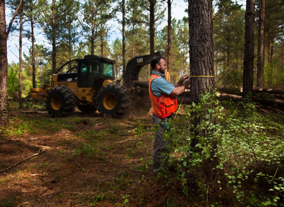
Inventory Data Collection
F&W Forestry Services boasts an experienced field team dedicated to collecting inventory information.
You can expect F&W to:
- Use leading tools and technology to achieve precise measurements
- Complete large projects within aggressive deadlines
- Employ rigorous internal training and quality control systems to ensure data accuracy and consistency

Inventory Processing & Reporting
Once we gather your forest inventory data, our team handles the data processing and reporting, assembling easy-to-understand reports for you and your team. These reports contain essential data points about the property, such as:
- Timber species and quality
- Vegetation
- Wildlife
- Site characteristics
- Other natural resources
We customize the reports to meet your needs and can set up efficient data transfers to your organization’s database.

Spatial Data Management
F&W Forestry Services uses the latest technology to improve how we gather and report data. We use GIS analysis and integrate data points into various management platforms to ensure you receive accurate, intuitive, and actionable information.
This service includes:
- Incorporation of multiple client data formats
- Data validation and topology
- Integration into Cengea and other management platforms
Forest Mapping
Each client is unique, and we provide forest operation maps to build the best information for your goals. Some of the maps and data we create and incorporate include:
- Forest operation maps
- Survey and legal maps
- Customizable stand delineation and land cover typing

Custom Map Products
F&W Forestry creates custom map products and georeferenced electronic maps for your convenience.
Our custom maps services can include:
- Standard suite of maps
- Special purpose maps
- GIS datasets (Shapefile, .kml/.kmz, etc.)